
 Photo: Vincent van Zeijst ↗
THE JOURNEY IN DETAIL
Eighteen islands in the Atlantic.
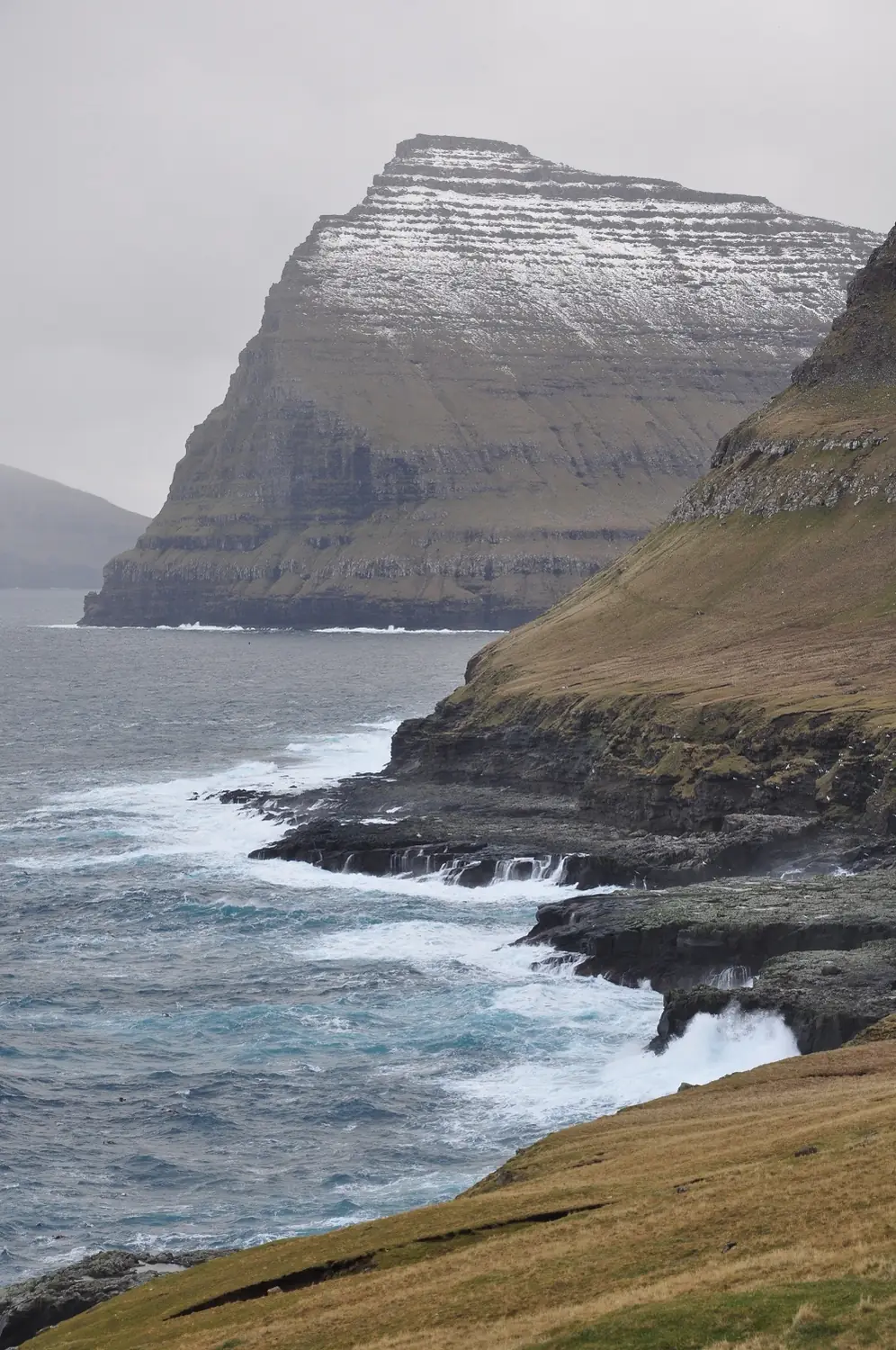
The Faroes are eighteen basalt islands between Iceland and Scotland, with not a single tree but seven hundred metres of vertical coastline and seventy thousand sheep. The weather changes four times a day, and that is part of the point. We walk old sheep paths between villages, climb the highest summit Slaettaratindur and sail to the Kallur lighthouse on Kalsoy.
- Slaettaratindur, 880 m, the highest point of the islands
- The Kallur lighthouse on the tip of Kalsoy
- The optical illusion of Sorvagsvatn above the ocean
- Saksun village and the turf roofs of Gjogv
With old friends or new ones
Join a group or arrange a separate departure for your own team. Before travelling, we get to know each other, discuss everyone's experience and find suitable dates. You can also prepare together.
DAY BY DAY
Your daily itinerary.
A provisional itinerary. Weather, group readiness and local conditions may change the order and length of the stages.
- DAY 1 · City walk and briefing
Vagar, Torshavn and the first evening
We meet at Vagar airport and drive to Torshavn, the smallest capital in northern Europe, with the turf roofs of Tinganes. An evening briefing on weather: here the forecast is checked every three hours.
Overnight: Hotel in Torshavn - DAY 2 · 10 km, 350 m of climbing
Sorvagsvatn and the Mulafossur waterfall
We walk along Sorvagsvatn to the Traelanipa cliff, where the lake appears to hang a hundred metres above the ocean — the famous optical illusion. In the afternoon, Gasadalur and the waterfall that drops straight into the sea.
Overnight: Guesthouse on Vagar - DAY 3 · 10 km, 450 m of climbing
Mykines and the puffin colony
The ferry to Mykines, the westernmost island, and the path to the Holmur lighthouse across the seabird cliffs. In season tens of thousands of puffins and gannets nest here; the path is ticketed and capped.
Overnight: Guesthouse on Vagar - DAY 4 · 12 km, 600 m of ascent
Saksun and the old postal path
We follow the historic path from Saksun to Tjornuvik, the route by which post travelled between villages for centuries. Saksun sits above a tidal lagoon ringed by sheer slopes.
Overnight: Guesthouse in Gjogv - DAY 5 · 7 km, 650 m of ascent
Slaettaratindur, 880 m
The highest point of the Faroes takes about three hours from the pass between Gjogv and Eidi, up a grassy, rocky ridge. On a clear day nearly the whole archipelago is visible — though such a day has to be caught.
Overnight: Guesthouse in Gjogv - DAY 6 · 6 km, 250 m of climbing
Kalsoy and the Kallur lighthouse
The ferry to Kalsoy, a narrow island the locals call the flute because of its five tunnels. The path to the Kallur lighthouse runs along a ridge above the ocean and ends on a headland with a three-hundred-metre drop.
Overnight: Hotel in Torshavn - DAY 7 · 6 km and a transfer
Sornfelli, Klaksvik and departure
Depending on the weather we climb Sornfelli above Torshavn or drive to Klaksvik, the country’s second town. In the afternoon, a transfer to Vagar airport through the sub-sea tunnel with its underwater roundabout.
Overnight: —
Included in the estimated price
Six nights in guesthouses and a hotel in Torshavn
Breakfast daily and four dinners
A club guide and a local guide on the permit paths
Minibus for the whole trip and the sub-sea tunnels
Ferries to Kalsoy and Mykines and the Mykines path fee
Access fees for the privately owned paths
Not included in the price
Flights to the meeting point
Personal travel insurance and visas
Personal equipment
Single-room supplements and personal expenses
Lunches and two dinners
The inter-island helicopter hop, about 30 euros
Single supplement
YOUR PREPARATION
Arrive ready for the route.
Nothing technical, but you must be used to four to six hours on wet grass slopes in wind and rain. Ivan goes through kit in detail: on the Faroes it is a genuinely waterproof shell and spare dry layers, not fitness, that decide the day.
Prepare with IvanROUTE QUESTIONS
BEFORE WE MEET ON THE TRAIL
What to prepare in advance
- Broken-in trekking footwear and a suitable daypack
- Rain gear, an insulating layer and spare socks
- Poles, if you are used to them
- Personal items within the agreed luggage allowance and suited to the accommodation
Once we choose a date, we agree on the equipment list, meeting point and transfer time. Please wait until the programme is confirmed before booking flights.