
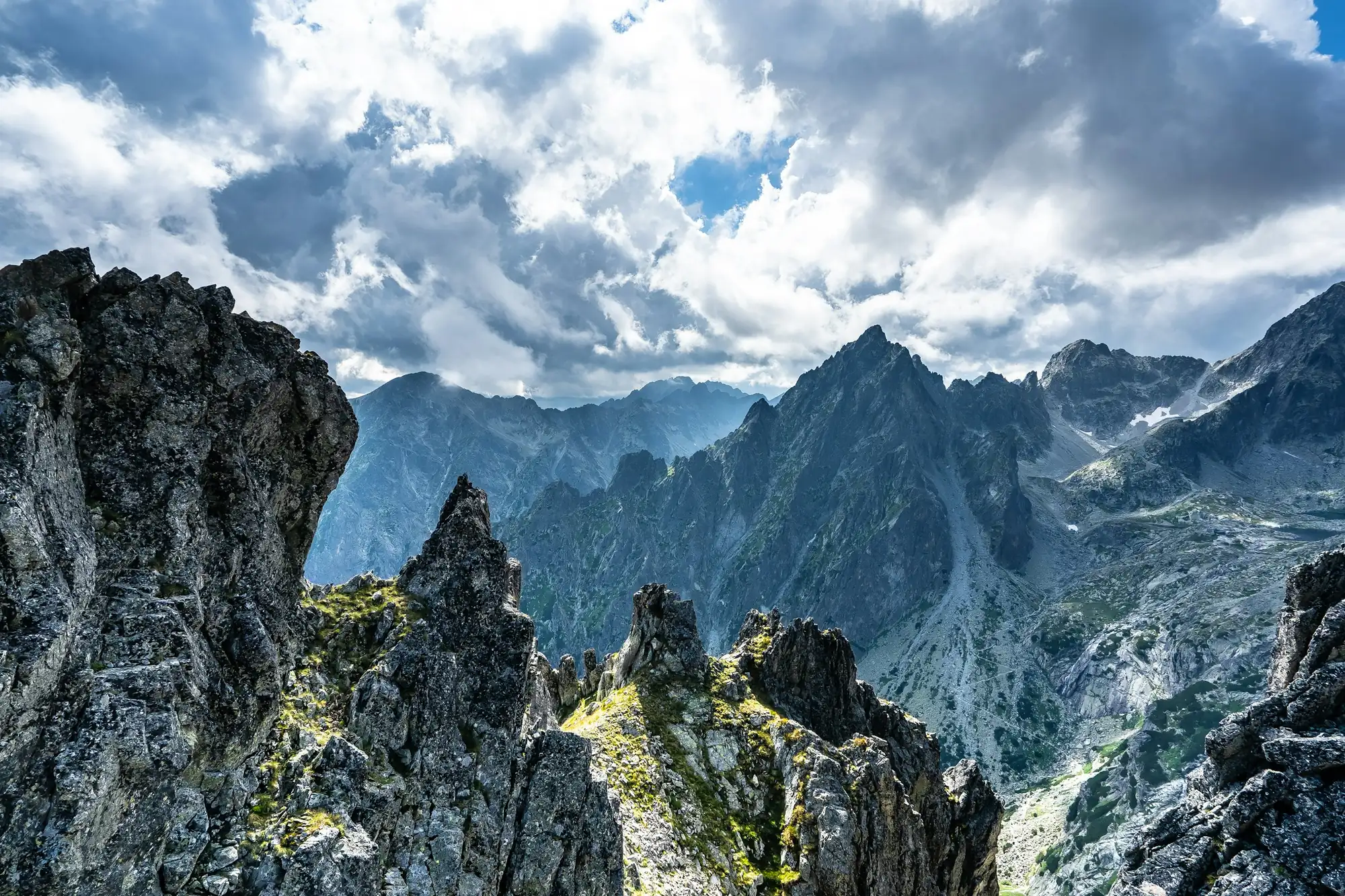
 Photo: Eelco Böhtlingk ↗
THE JOURNEY IN DETAIL
Small mountains, serious character.
The High Tatras are the most compact Alpine-style range in Europe: twenty-five kilometres long, yet holding twenty-five summits above 2,500 metres, granite cirques, a hundred lakes and a network of chaty serving potato soup. We follow the Slovak Magistrala, cross into Poland at Morskie Oko and climb Rysy at 2,503 m, the highest point in Poland, standing exactly on the border.
- Rysy, 2,503 m, the highest point in Poland
- The Tatra Magistrala along the tree line
- Morskie Oko and the Czarny Staw
- Nights at the Teryho and Zbojnicka chaty
With old friends or new ones
Join a group or arrange a separate departure for your own team. Before travelling, we get to know each other, discuss everyone's experience and find suitable dates. You can also prepare together.
DAY BY DAY
Your daily itinerary.
A provisional itinerary. Weather, group readiness and local conditions may change the order and length of the stages.
- DAY 1 · 6 km, 150 m of ascent
Poprad and Strbske Pleso
We gather in Poprad and take the mountain train up to Strbske Pleso at 1,346 m. An evening lap of the lake and a briefing: in the Tatras walking is allowed only on marked paths.
Overnight: Hotel at Strbske Pleso, 1,346 m - DAY 2 · 12 km, 1,000 m of ascent
Mengusovska valley towards Rysy
Past Popradske Pleso and up the chains to the Chata pod Rysmi at 2,250 m, the highest refuge in Slovakia. In the evening the stove is lit and water comes from the tarn below.
Overnight: Chata pod Rysmi, 2,250 m - DAY 3 · 13 km, 500 m of ascent
Rysy, 2,503 m, and down the south side
The morning push to Rysy takes an hour: a short rocky ridge with chains and a summit straddling two countries. We drop back to Popradske Pleso and follow the Magistrala east.
Overnight: Hut at Popradske Pleso, 1,500 m - DAY 4 · 15 km, 1,100 m of ascent
The Magistrala to Zbojnicka chata
A long traverse at the tree line beneath the walls of Gerlachovsky stit, 2,655 m, the highest point in the Carpathians. Up the Velicka valley and over the Prielom saddle to the Zbojnicka chata.
Overnight: Zbojnicka chata, 1,960 m - DAY 5 · 8 km, 700 m of ascent
Priecne sedlo and Teryho chata
The most technical day: the Priecne sedlo at 2,352 m is climbed on chains and staples, and traffic is one-way only. Teryho chata sits among the five tarns of the Mala Studena valley.
Overnight: Teryho chata, 2,015 m - DAY 6 · 10 km, 1,100 m of descent
Down to Tatranska Lomnica and into Poland
Down the Mala Studena valley past the Obrovsky waterfall to Hrebienok and the funicular to the valley. A transfer across the border to Zakopane at 850 m, with a free evening.
Overnight: Hotel in Zakopane, 850 m - DAY 7 · 16 km, 500 m of climbing
Morskie Oko and Czarny Staw
A final walk to the largest lake in the Tatras, Morskie Oko at 1,395 m, and up to the Czarny Staw under the north face of Rysy, which we climbed from the other side. An afternoon transfer to Krakow.
Overnight: —
Included in the estimated price
Six nights in mountain chaty and a valley hotel
Breakfasts and dinners at the huts
A club mountain guide for the whole route
Hut bookings and both national park fees
Transfers from Poprad and to Krakow at the end
The Hrebienok funicular and the trains on the programme
Not included in the price
Flights to the meeting point
Personal travel insurance and visas
Personal equipment
Single-room supplements and personal expenses
Lunches and trail snacks
Thermal baths in Poprad and Zakopane
A guide for Gerlachovsky stit on request
YOUR PREPARATION
Arrive ready for the route.
Be ready for 800 to 1,100 metres of ascent a day and some hands-on work: the Tatras have many rocky sections with fixed chains and staples. Ivan prepares the group over six weeks, including a session on pole technique for steep descents.
Prepare with IvanROUTE QUESTIONS
BEFORE WE MEET ON THE TRAIL
What to prepare in advance
- Broken-in trekking footwear and a suitable daypack
- Rain gear, an insulating layer and spare socks
- Poles, if you are used to them
- Personal items within the agreed luggage allowance and suited to the accommodation
Once we choose a date, we agree on the equipment list, meeting point and transfer time. Please wait until the programme is confirmed before booking flights.